
The RAINBO Project
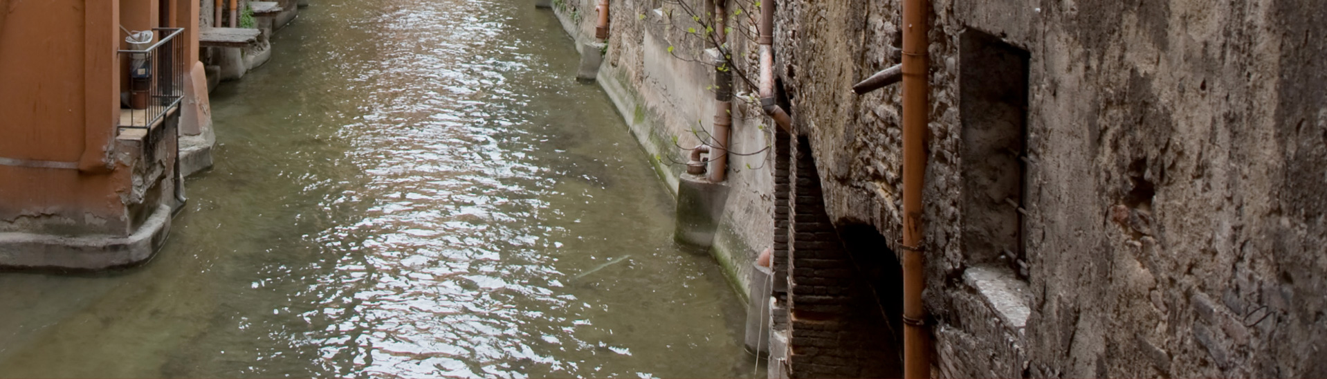
The RAINBO project (LIFE15CCA/IT/00035) is the follow-up of BLUEAP (Bologna Urban Environment Adaptation Plan for a resilient city), a previous European project co-financed by the LIFE Program, ended in 2015 with the setting up of a Climate Adaptation Plan for the City of Bologna. BLUEAP developed a climate outline of the city, focusing on a few weak points of the local area, which resulted especially vulnerable to more and more frequent severe rainfall events and flash flooding of small watercourses in urban areas.
Lepida Spa is the project coordinator; the involved partners are Arpae Emilia-Romagna – Servizio Idro-Meteo-Clima, Nier Ingegneria SpA, Meeo Srl and the Municipality of Bologna.
OJECTIVES
The overall objective is to develop and improve methods and tools to predict severe rainfall events and their impact, focusing on the hydrologic response of the small watercourses within the urban area of Bologna.
The final objective is to reach a higher resilience in such watercourses, by means of a monitoring and modeling system allowing it to forecast any sudden flooding event.
ACTIVITIES
- Detect the existing monitoring devices and their alert systems' function;
- Create an early warning system in order to increase the ability to identify potentially critical weather events in advance.
- Implement a system that by means of hydrological models, territorial data and vulnerability models, allows it to plan useful actions to control and mitigate the critical situations emerged from the surveys.
- Develop a supporting tool in order to determine a protocol in response to the potential impacts of catastrophic events in high-risk territories.
- Monitor the efficiency of the warning systems through the processing of real-time data collected by the applied sensors. This monitoring system will be applied to the Ravone river and eventually to other watercourses.
EXPECTED RESULTS
- Developing an adequate processing system to provide risk maps including territorial and census data, and information on critical infrastructure and buildings in the risk areas.
- Implementing an advanced infrastructure for constant environmental monitoring.
- Creation of hydro-geological models based on rainfall fields, to forecast flash floods in small basins.
- Developing an adequate software platform to integrate data and models.
- Demonstrating the action impact and the effectiveness of the applied methods and tools.